About this hike
SELFGUIDED TOUR
DISTANCE: 3–4 days, approx. 65 km, of which 30–40 km follow roads. Up to 445 meters in elevation.
MAP: Arctic Sun. Narsarsuaq (Qassiarsuk – Igaliku) 1:50,000
ORIENTATION/DIFFICULTY: Moderate. Road and mountain terrain. The hiking route Qaqortoq – Hvalsey – Igaliku is partly marked with cairns.
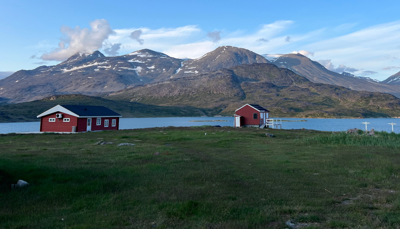
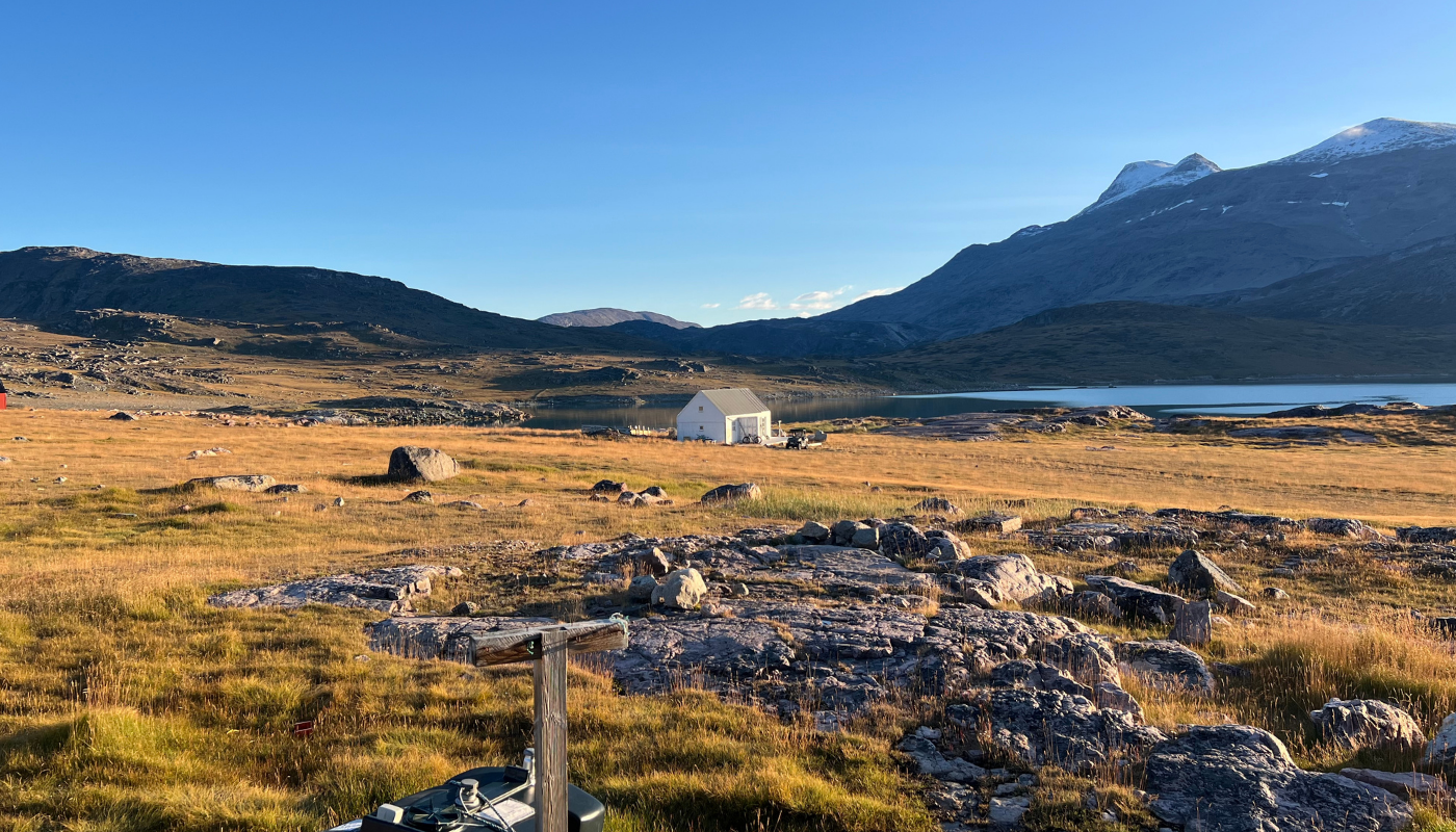
ACCOMMODATION: Requires a tent and provisions, and there is almost always access to spring water along the way.
ROUTE DESCRIPTION
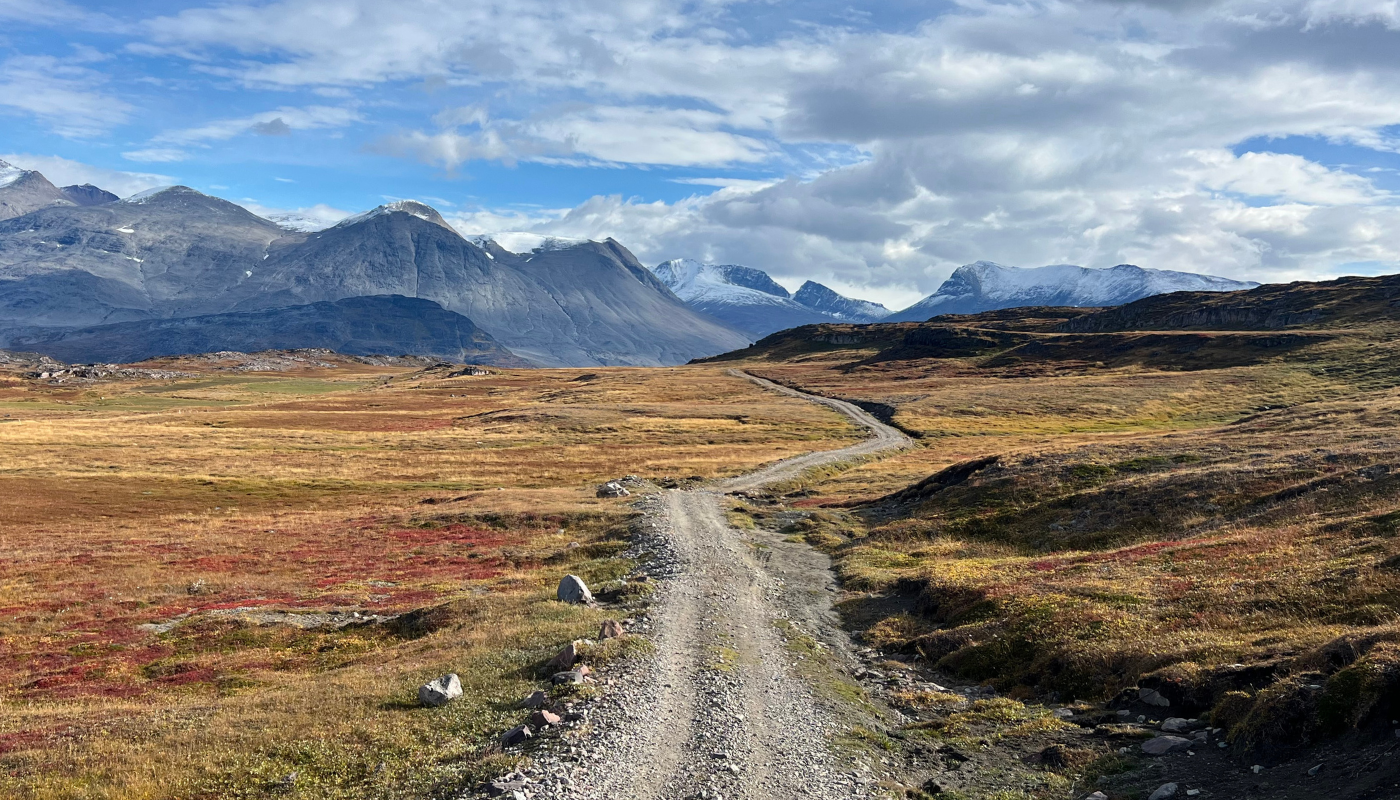
The hiking route from Qaqortoq to Igaliku is a classic multi-day hike in South Greenland (3-4 days). The peninsula is dominated by the long, serrated mountain ridge (1200 m) called Killavaat (Redekammen in Danish), whose towering mass is visible from almost any vantage point along the route.
There are quite a few ways of doing the trip between Qaqortoq and Igaliko, but the one described here is a relatively easy hike. The route never goes higher than about 445 metres and the terrain is not as steep as on the hike between Qassiarsuk and Narsaq. However, there are no shelters or sheep farms with accommodation along the way, so you must carry a tent and supplies throughout the entire trip.
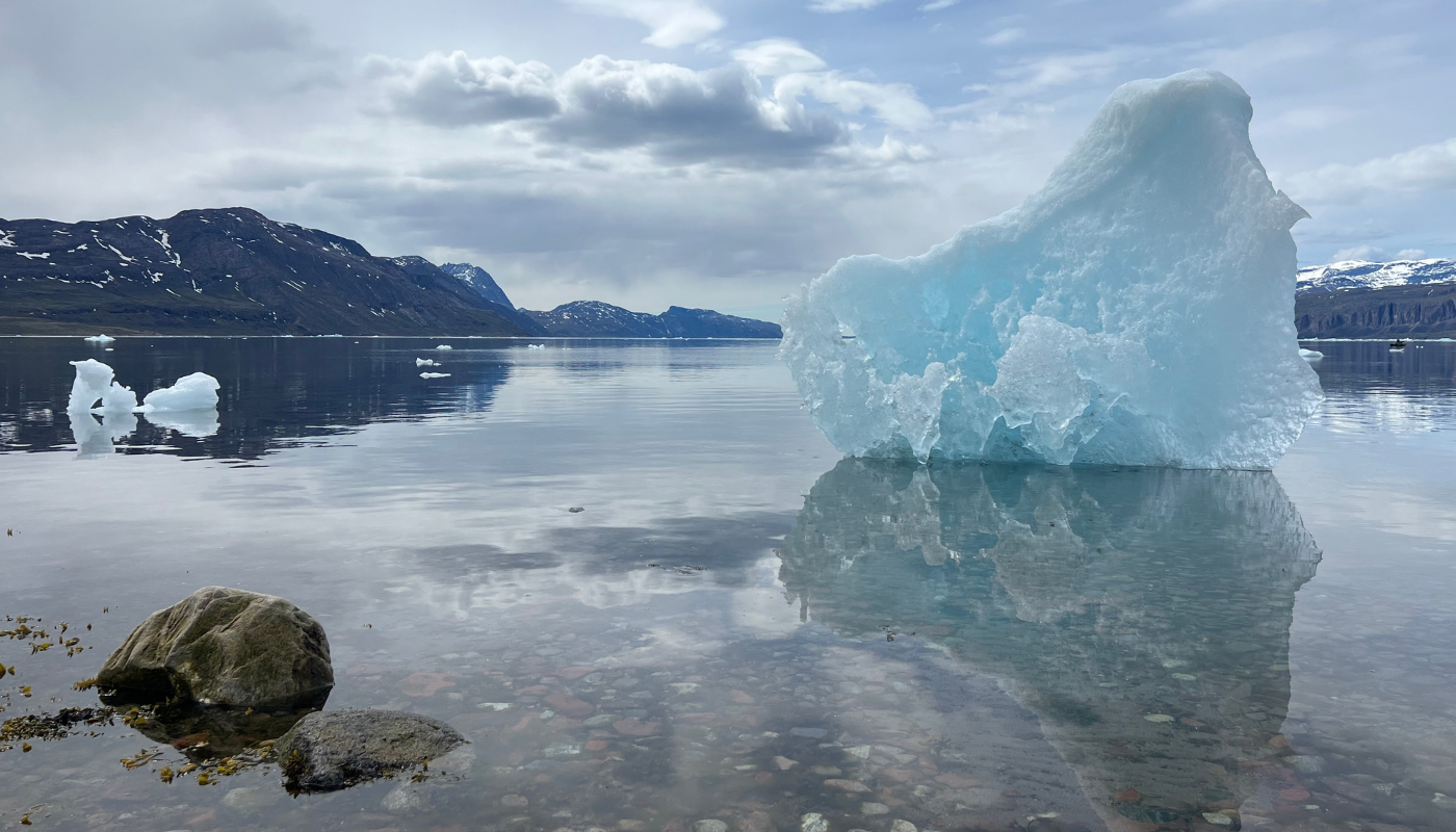
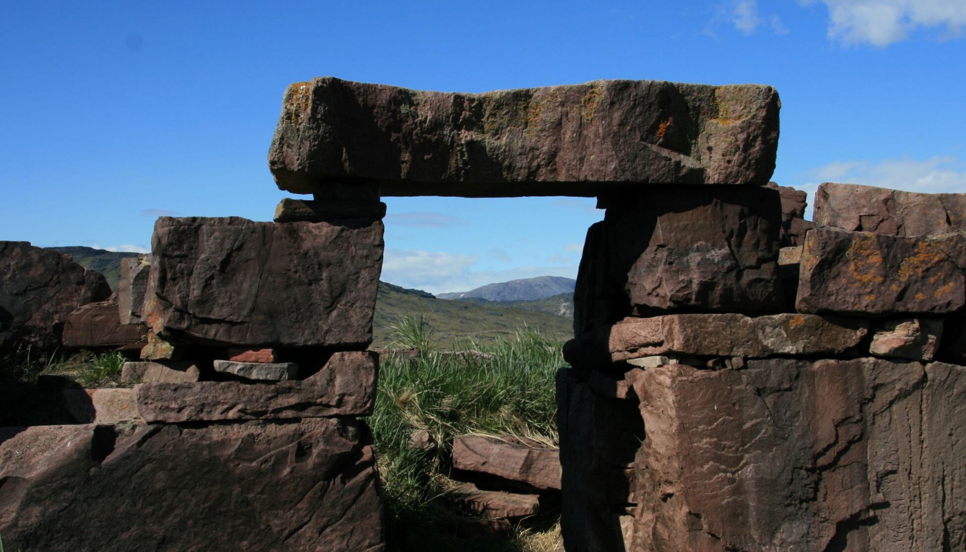
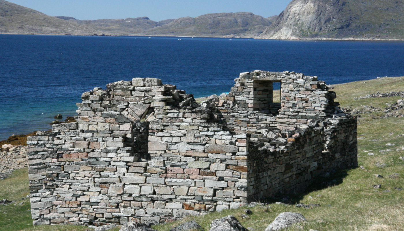
Highlights on the route:Aside from the beautiful scenery and views of fjords with drifting icebergs, you will pass by several vestiges of the Norse period. Igaliku is well known as the former bishop’s residence and has remarkable ruins from this period.
The Hvalsey Church is probably the best-preserved Norse ruin in South Greenland.
And, last but not least, you will have an opportunity to visit Sissarluttoq. This large group of ruins may not be nearly as well-known as the other two, but it is actually one of the most impressive remains of the old Norse Eastern Settlement, with no fewer than 42 ruins!