About this hike (Orange route)
SELFGUIDED TOUR
DISTANCE: About 12 km. 4–5 hours. Max elevation 340 m.
MAP: Arctic Sun. Narsarsuaq (Qassiarsuk – Igaliku) 1:50,000
ORIENTATION/DIFFICULTY: The route is not marked. Moderate hiking. Paths and rolling hills.
ACCOMMODATION: You can sleep in Nunataaq and Sillisit.
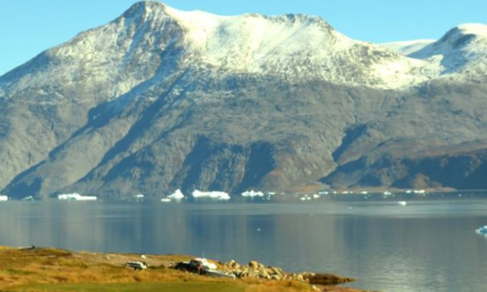
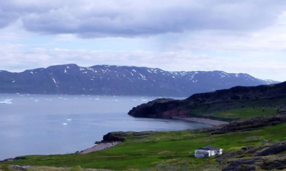
From Sillisit you can continue on towards Narsaq (a 3-day hike), turn back to Qassiarsuk along the fjord (15 km of gravel road), or catch a boat to your next destination.
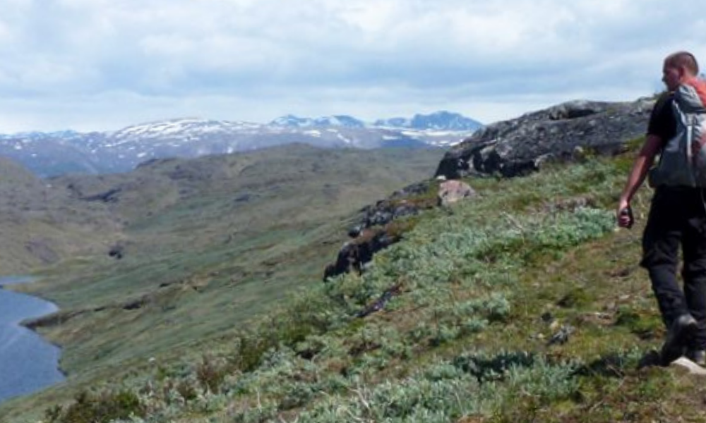
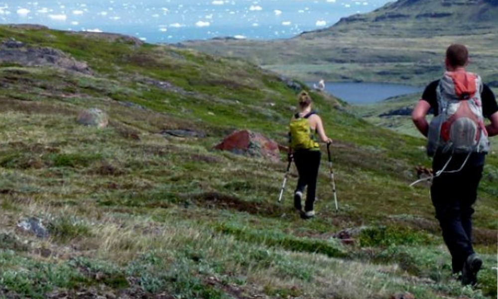
ROUTE DESCRIPTION
From Nunataaq follow the gravel road towards Qassiarsuk:
-
Once you get through the last fence (after about 800 m), turn right off the road along the fence and continue down to the end of a small pond, and from there proceed uphill along a stream.
-
You reach the end of Lake 110 (on the map) and continue steadily upward in a south-south-easterly direction along the ridge (about 1½ km).
-
There are many sheep tracks, so you should try to choose the one that best matches your intended direction! The terrain is a mix of rocks, grass and low shrubs.
-
Head for the highest point (about 1½ km in a southerly direction), and from there the route goes gently downhill the rest of the way towards Sillisit.
-
At some point you will come across the gravel road that crosses the peninsula between the Sillisit and Kangerlua sheep farms. Follow the road to the east (left) until you reach Sillisit.
-
About 1 km before Sillisit you may have to wade across a small stream.
You can sleep at the Sillisit sheep farm or head back to Qassiarsuk. It is 15 km on a winding gravel road; the first 6 km along the fjord, the last 9 km climbs to about 200 metres in altitude before descending to Qassiarsuk. Sillisit is also the starting point for the hike to Narsaq, read more at: Qassiarsuk – Narsaq.