About this hike
SELFGUIDED TOUR
DISTANCE: About 20 km. 6-7 hours. Max elevation 266 m.
MAP: Arctic Sun. Narsarsuaq (Qassiarsuk – Igaliku) 1:50,000
ORIENTATION/DIFFICULTY: Marked. Easy hiking. Gravel road and paths.
ACCOMMODATION: The hike is a day trip. You can sleep in Qassiarsuk, Tasiusaq and Nunataaq.
ROUTE DESCRIPTION
Follow the gravel road that passes by the church in Qassiarsuk.
-
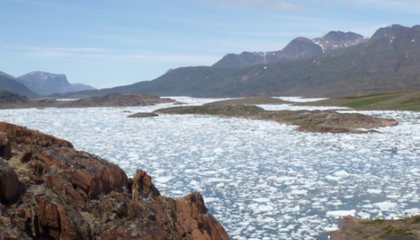
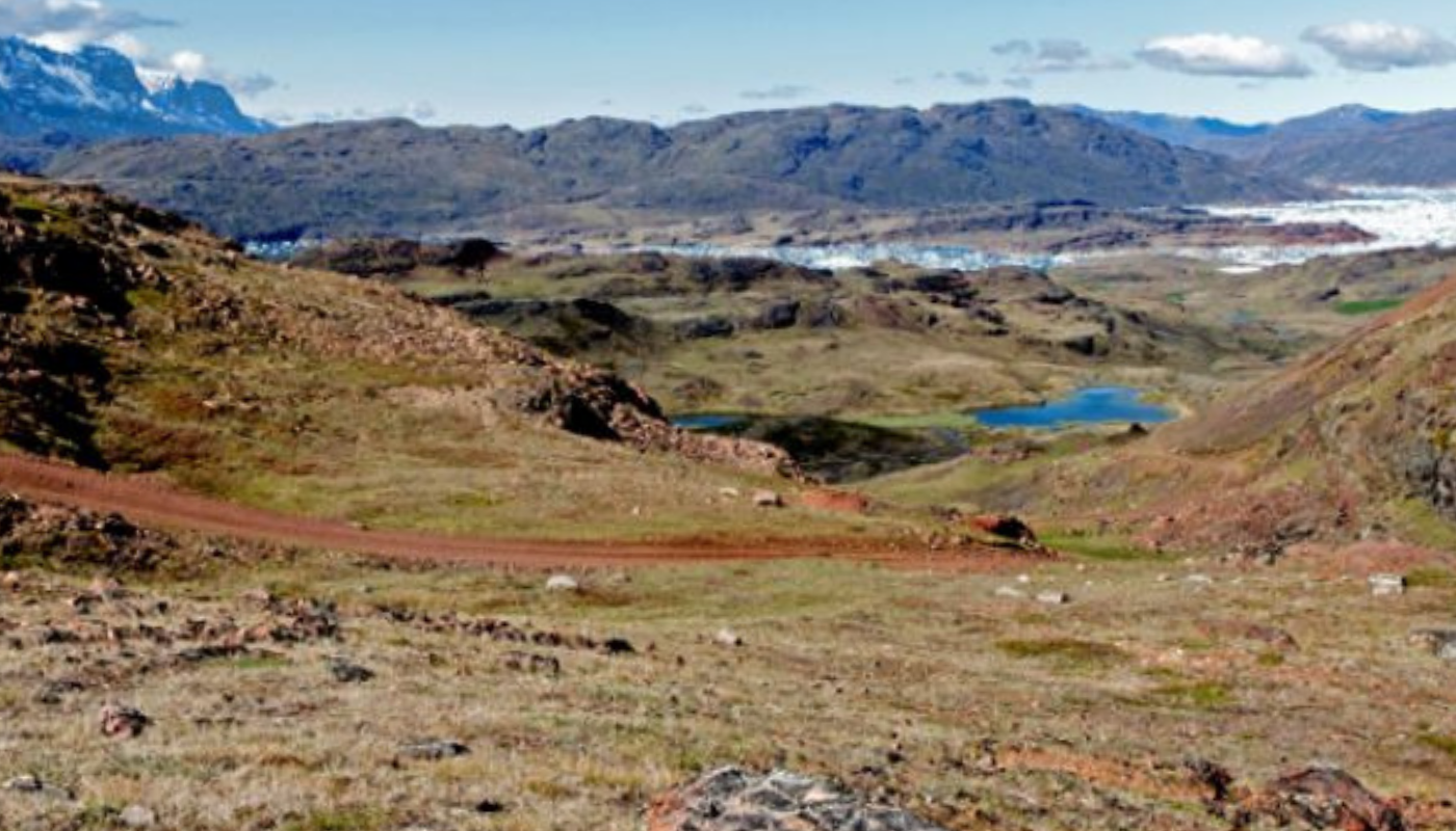
The road continues west out of the village and begins to climb. There is a fine view over both Sermilik and Tunulliarfik Fjord from the top of the pass (approx. 4 km).
-
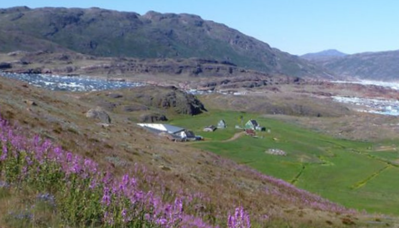
Then you gradually descend all the way to the Tasiusaq sheep farm (4 km), which marks the end of the road.
-
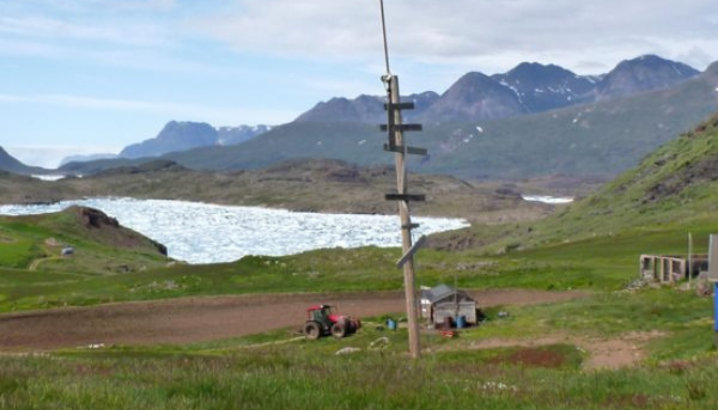
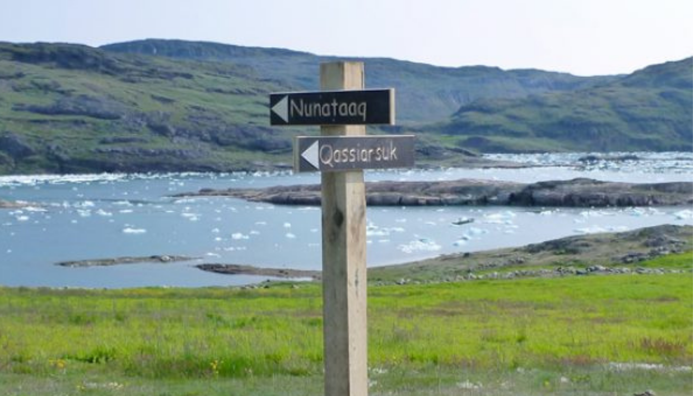
Here you take a marked trail along the fjord to the Nunataaq sheep farm (about 3 km).
-
From Nunataaq follow the gravel road back to Qassiarsuk (approx. 9 km). The road is a slightly longer and steeper route than between Qassiarsuk and Tasiusaq.
-
A few kilometres before Qassiarsuk a road branches off to the right and leads to the Inneruulalik, Issormiut and Sillisit sheep farms. However, you continue straight ahead and descend to Qassiarsuk.