About this hike (Blue route)
SELFGUIDED TOUR
DISTANCE: About 22 km. 6–6½ hours. Max elevation 103 m.
MAP: Hiking Map South Greenland. Narsaq (or Narsarsuaq). 1:100,000
ORIENTATION/DIFFICULTY: The route is not marked. Easy hiking. Paths and gentle hills.
ACCOMMODATION: You can sleep in Tasiusaq or in a tent along the fjord.
ROUTE DESCRIPTION
Follow the gravel road between the farm houses and sheep stables:
-
When the road ends, just continue on the sheep tracks along the coast. After about 2 km you reach the valley of Qorlortup Itinnera and cross the river via a small bridge.
-
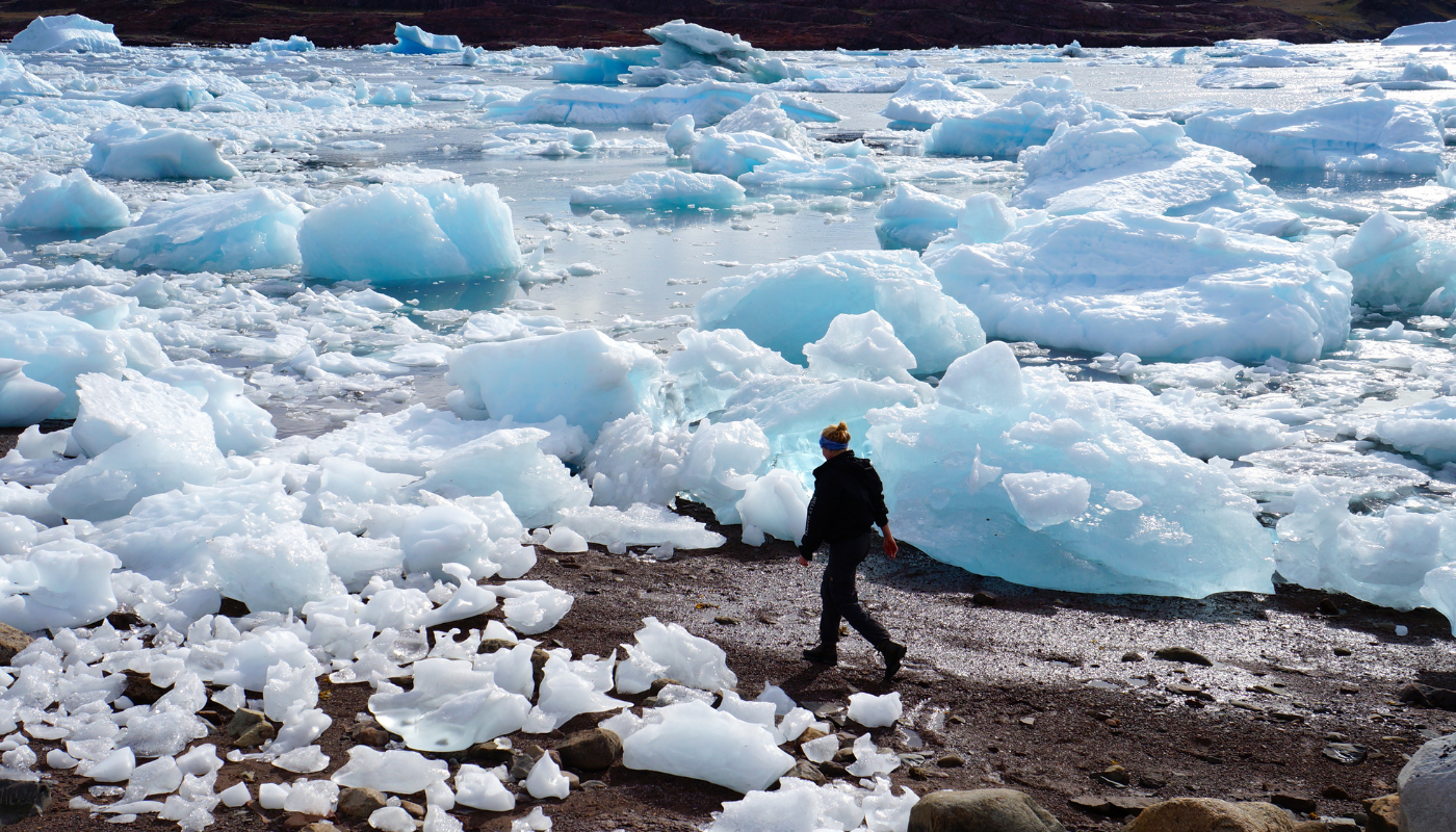
You continue along the shore and cross small streams along the way. Normally this can be done dry-shod! After about 6 km you arrive at Ipiuttat Peninsula.
-
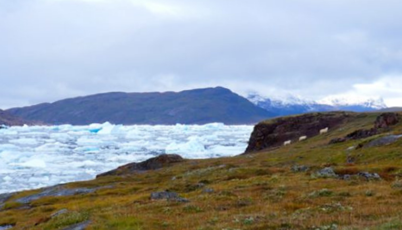
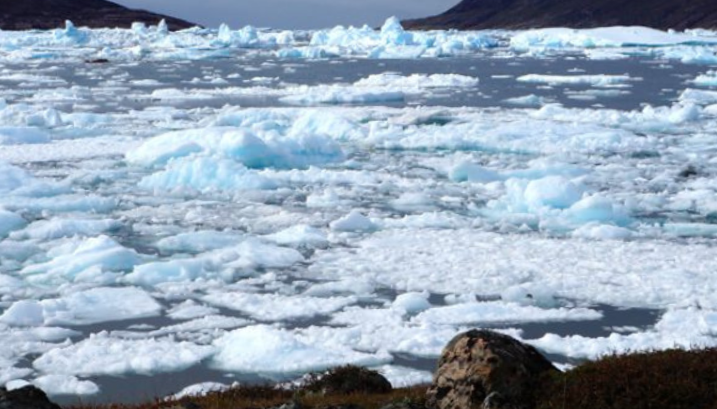
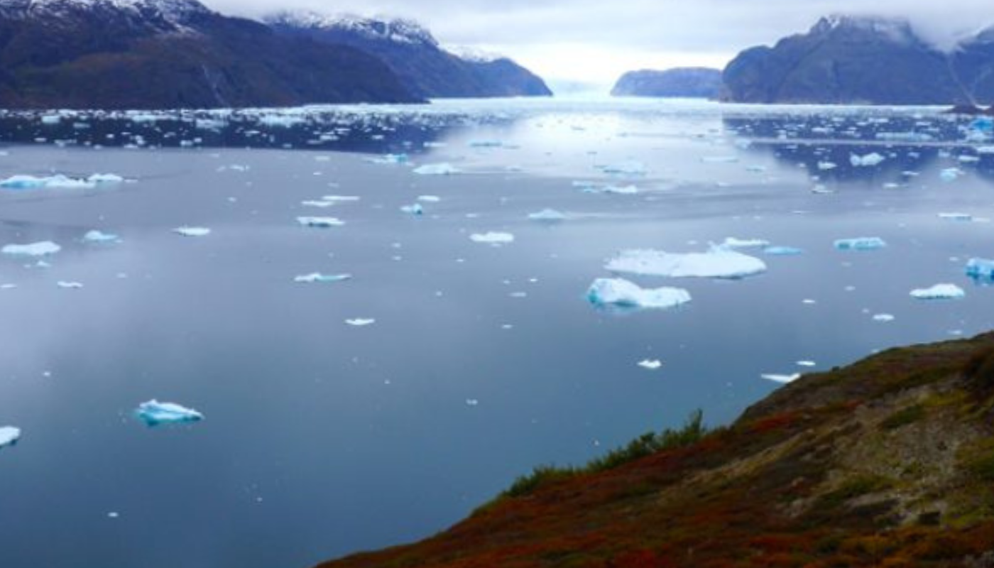
You do not need to climb to the top of the peninsula to get a fantastic view. Just walk up to the low pass until you have a view to the north-east, where glaciers are coming down the other side of Sermilik Fjord.
-
The hike back follows the same route.
If you hike to the top of Ipiuttat, figure another 4 km and 1 extra hour of walking.