Qassiarsuk

Only 15 minutes by boat from Narsarsuaq, across the fjord, lies the settlement of Qassiarsuk—a working sheep farm where agriculture is still practiced on the same land that Erik the Red once farmed. Qassiarsuk is a unique place where history and modern farming go hand in hand.

Qassiarsuk map


Hiking tours in the Qassiarsuk area

There are numerous hiking opportunities around Qassiarsuk, and the area is well suited to less experienced hikers thanks to its many gravel roads and trails. At the same time, experienced hikers will also enjoy spending a few days here, as the landscape is simply breathtaking.

Qassiarsuk is also an excellent place for camping, with fantastic spots to pitch a tent, especially along the Sermilik Fjord.

One of the most popular hikes follows the tractor track towards the ice-filled Bredefjord, offering stunning views of both fjords and the surrounding wilderness. The round trip to the Tasiusaq sheep farm is 16 km.

The route descriptions below can be combined in several ways. The route colours refer only to the overview map and do not correspond to trail markings on site, nor do they indicate any particular level of difficulty.

Print the route descriptions (PDF)

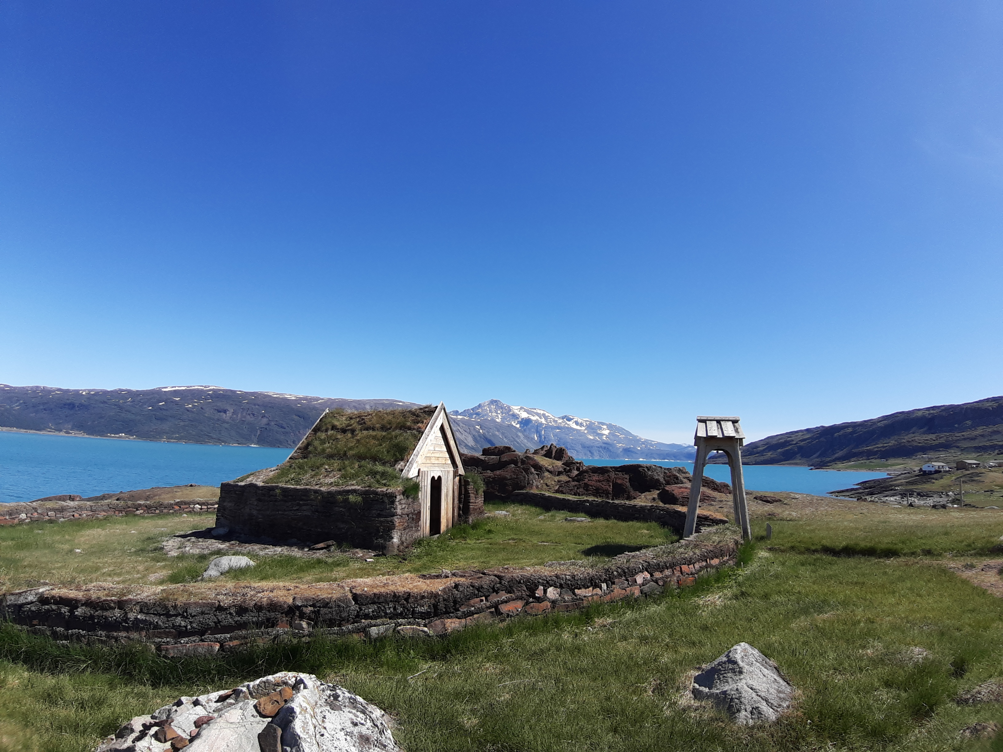
Qassiarsuk (Brattahlid)

In 2017, 5 regions of South Greenland were recognised by UNESCO as World Heritage Sites, which together form "Kujataa Greenland: Norse and Inuit agriculture at the edge of the ice sheet".

Qassiarsuk is part 1. Only 15 minutes by boat from Narsarsuaq - across the other side of the fjord is the settlement, which is also a sheep farm. You’ll find agriculture on the same land which Erik the Red farmed.

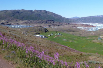
From Qassiarsuk, you can follow the tractor track toward ice-filled Bredefjord, enjoying stunning views of both fjords and wild landscapes. The round trip to Tasiusaq sheep farm is 16 km.

Qassiarsuk landskab