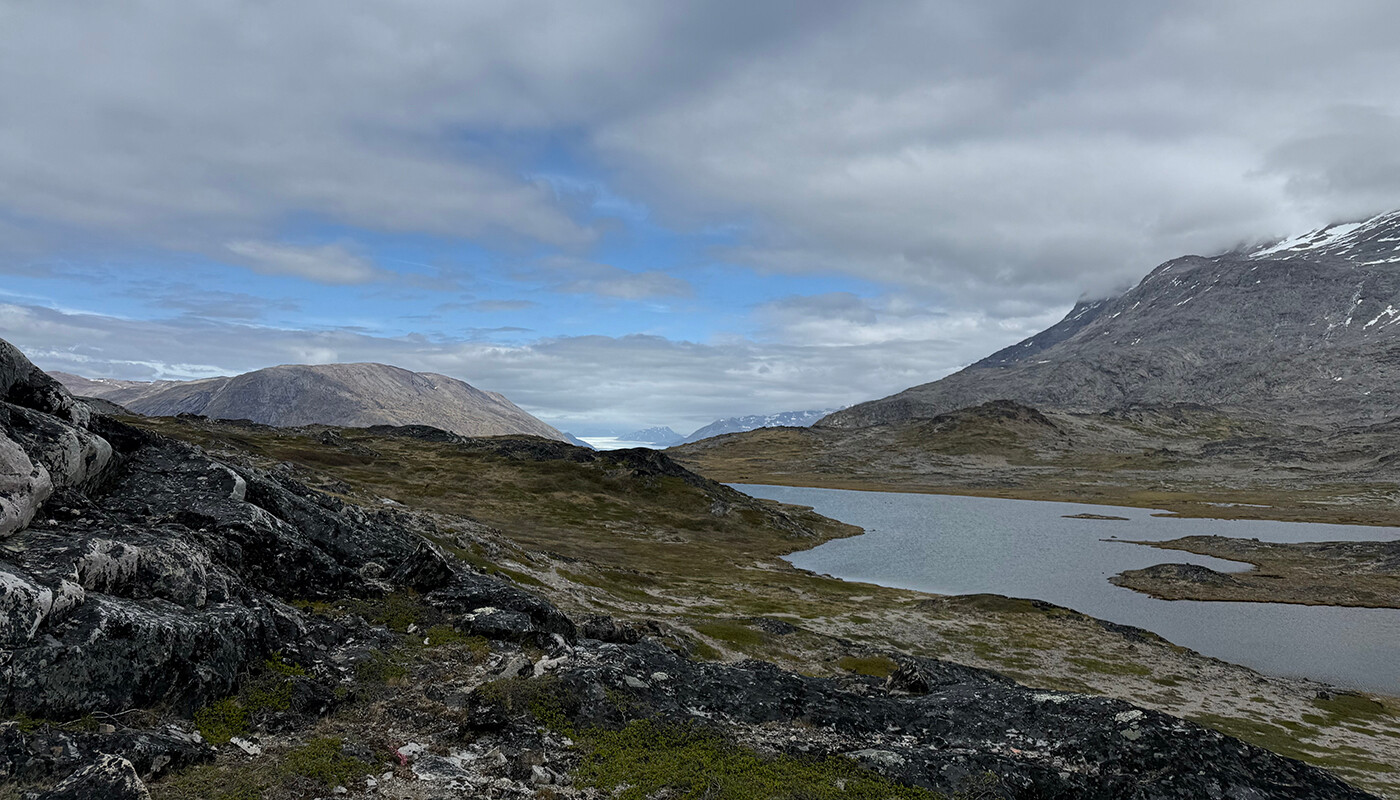
About this hike (Red route)
SELFGUIDED TOUR
DISTANCE: About 17 km. Approx. 6 hours. Max elevation 266 m.
MAP: Arctic Sun. Narsarsuaq (Qassiarsuk – Igaliku) 1:50,000
ORIENTATION/DIFFICULTY: Marked. Easy hiking. Trails and rolling hills.
ACCOMMODATION: Igaliku Country Hotel
ROUTE DESCRIPTION
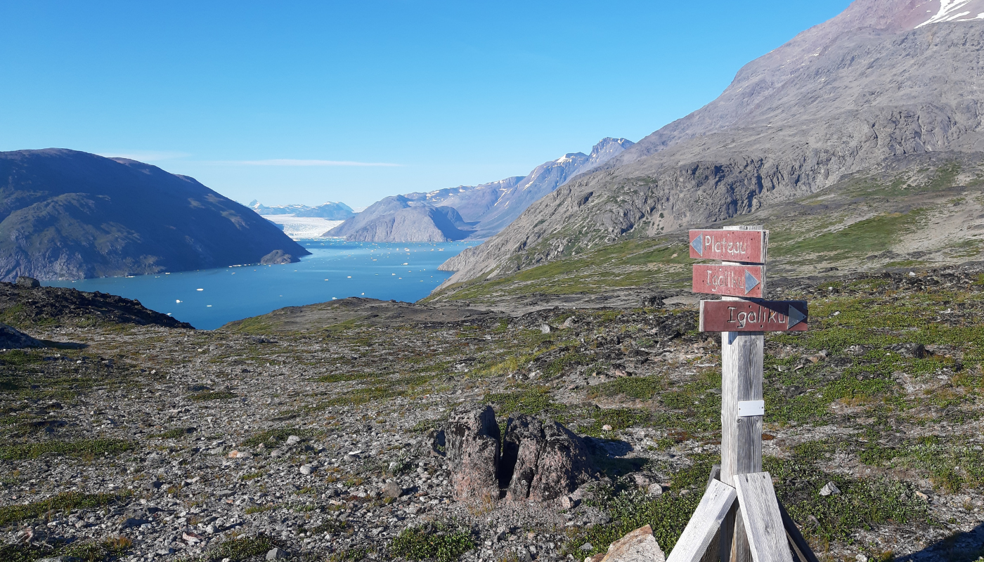
Follow the signs towards “Lake and Plateau”, from the road opposite the cabins at the Igaliku Country Hotel.
-
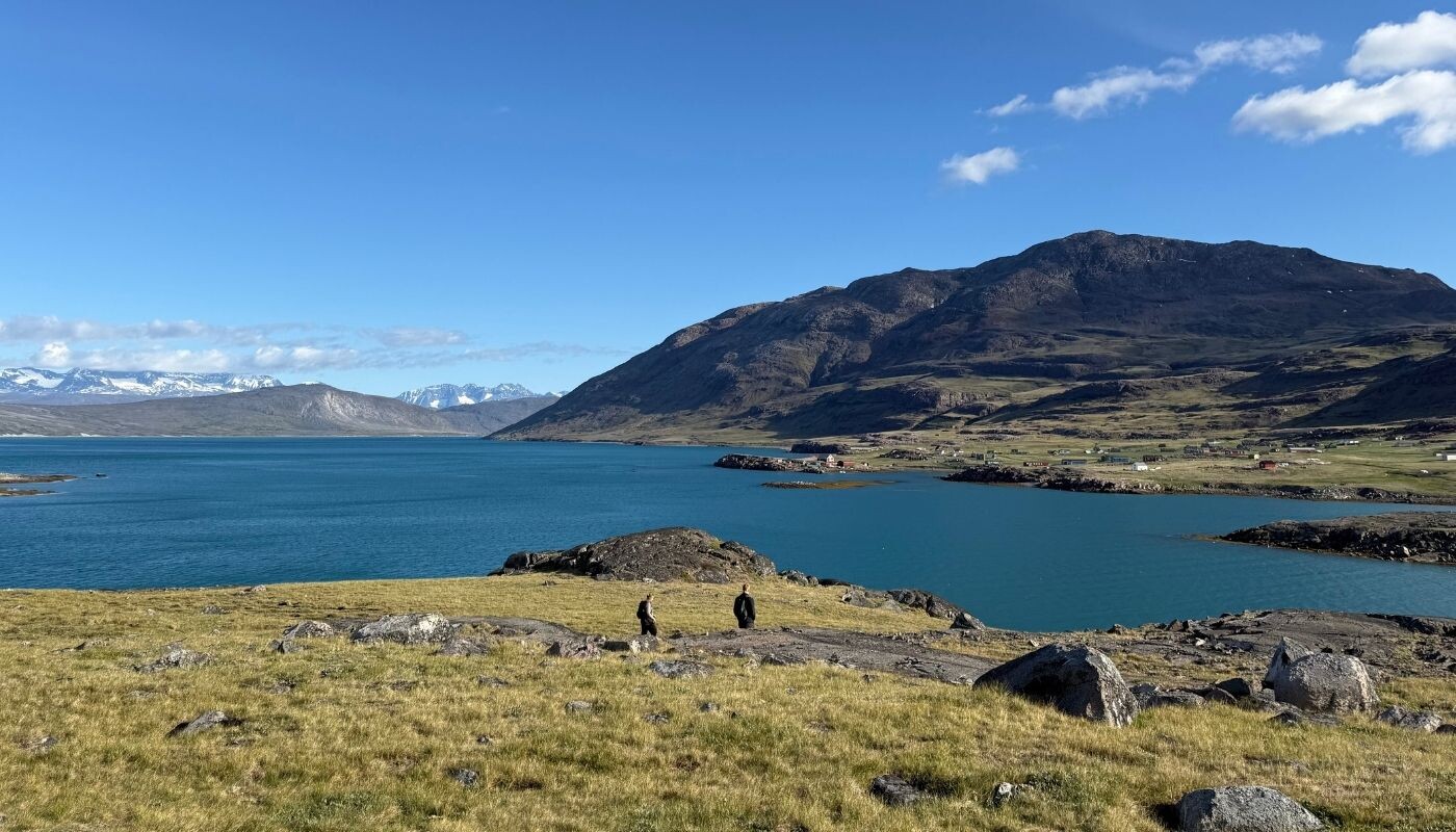
The gravel road heads out of the village towards the inner part of the fjord. However, after passing through the fence, we recommend that you follow the sheep track marked with red spots along the fjord, rather than take the dusty road, which cuts through the landscape at a higher altitude.
-
After about 2 km you reach the stream coming from the lake and follow it (without crossing it) to the lake. Here the trail merges with the gravel road and continues around the lake.
-
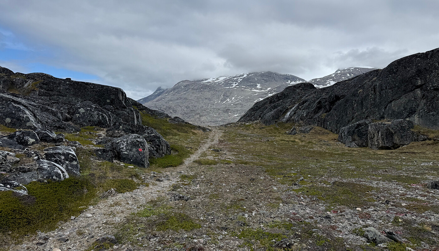
At the end of the lake you follow the marks and the path up through the narrow valley. It ascends about 200 meters before it turns north (right) into a broader valley.
-
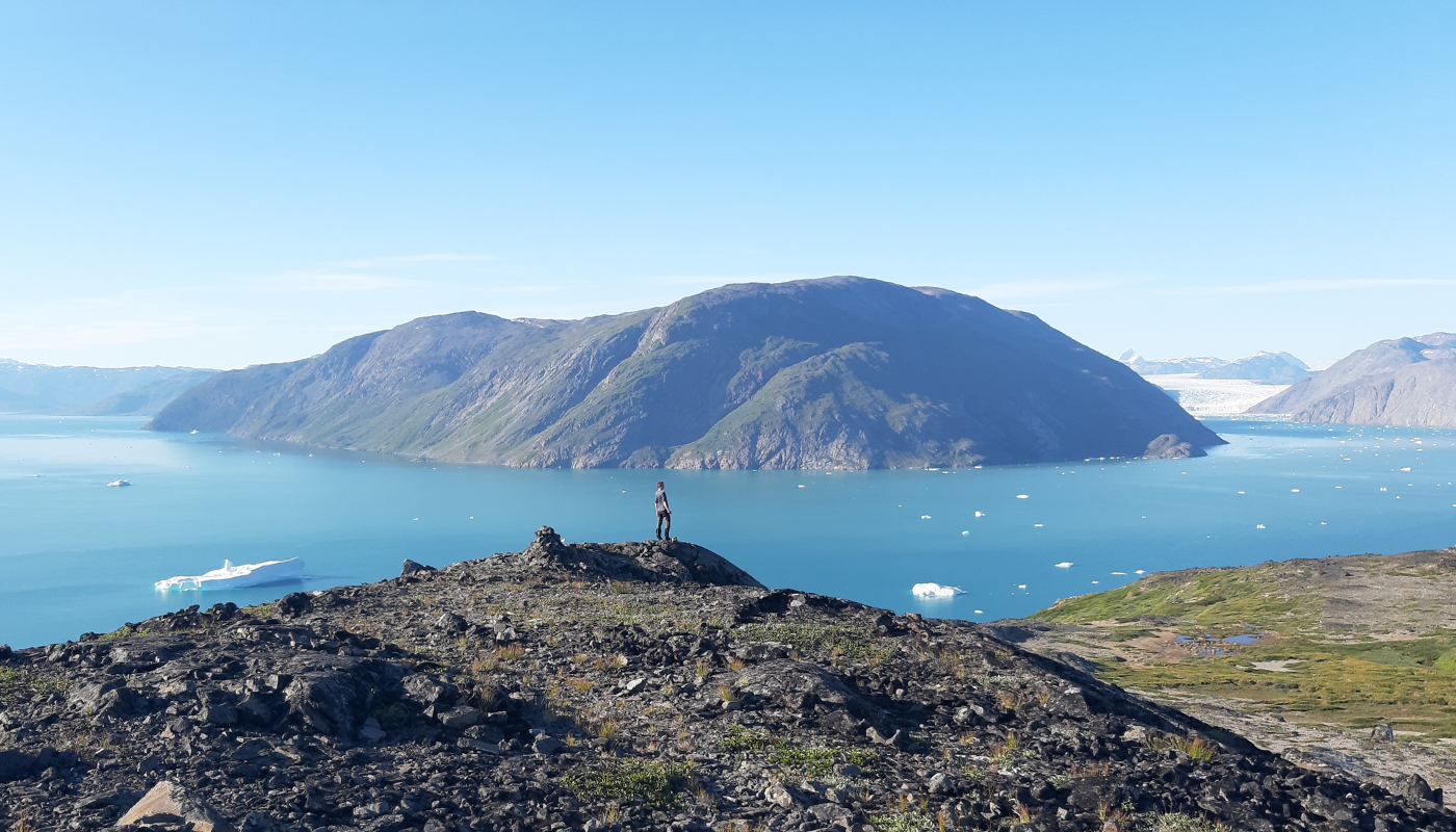
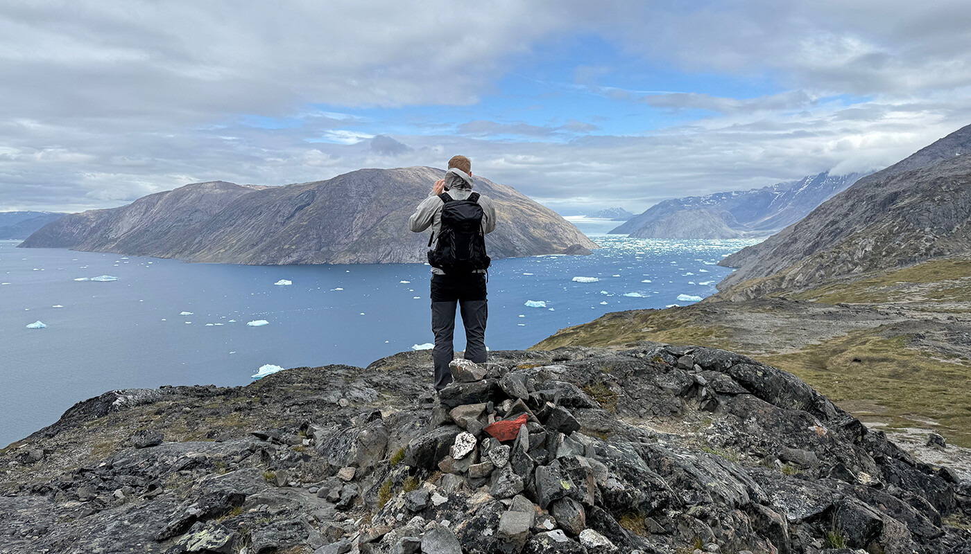
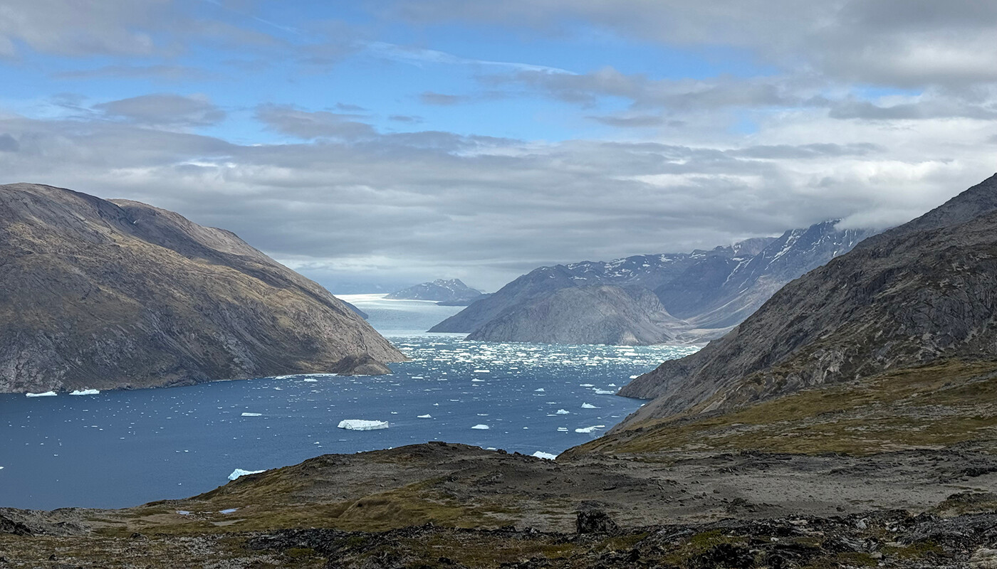
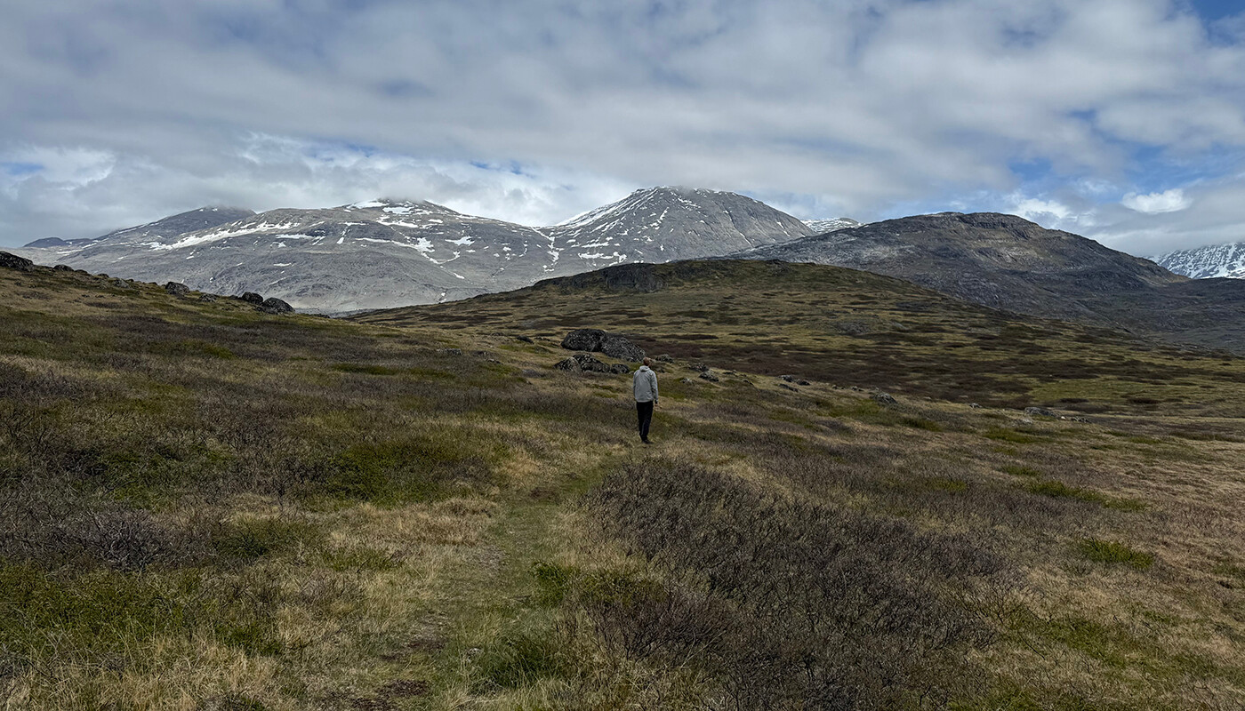
Follow the marks over the plateau until you reach the vantage point (signpost), which lies at about 260 m. From here there are spectacular views of the Qooroq Ice Fjord, the glacier at the head of the fjord and the big stranded icebergs on the submerged moraine.
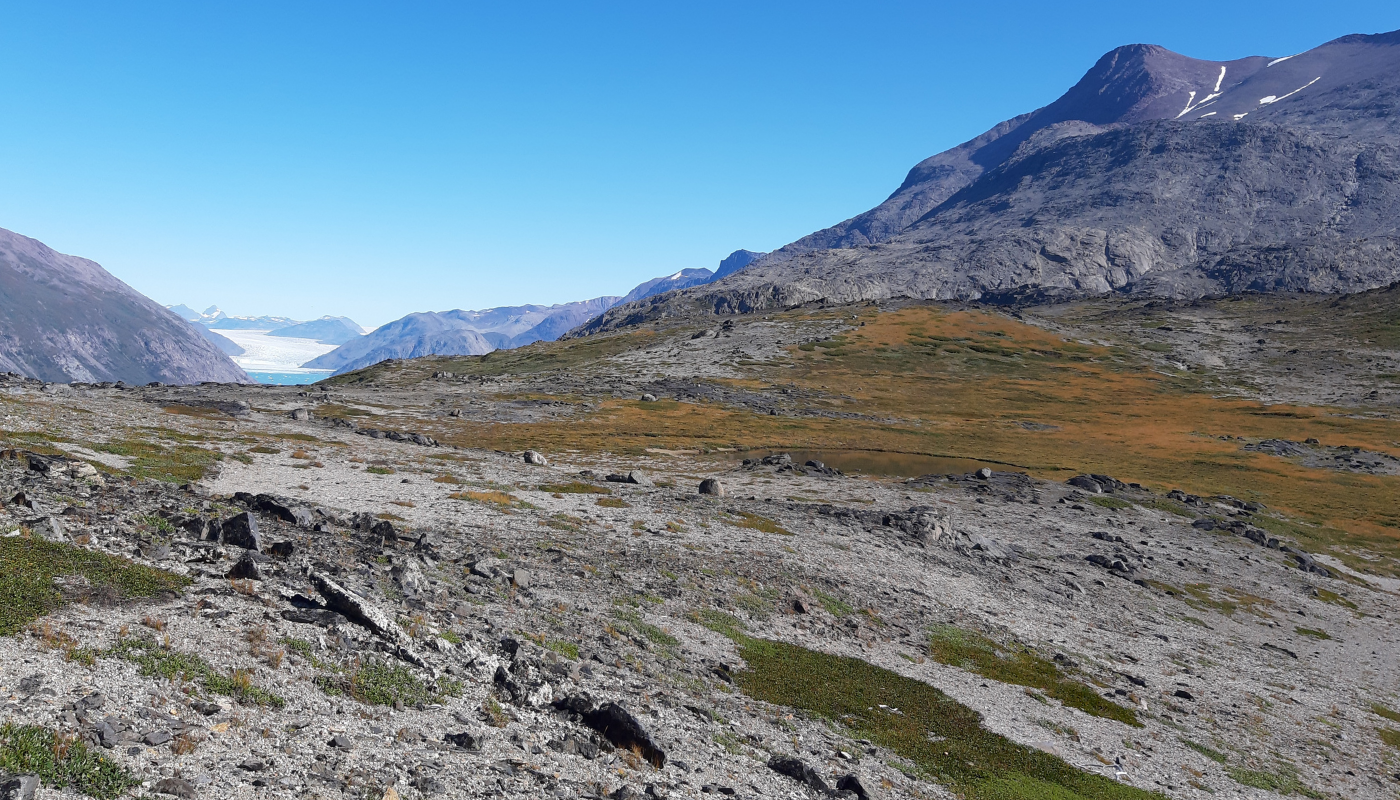
Return via the "moon landscape"
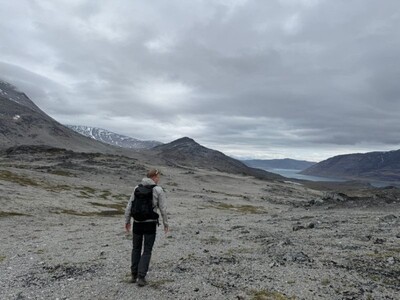
On the return, you can take the marked route that goes to the southeast (away from the fjord). You now pass through a “moon landscape” of weathered rocks and have excellent possibilities here of finding the shining “moonstone” (labradorite) along with rock crystals. After about 2 km, you reach the gravel road that leads almost to the top of the plateau on this side of the lake, and you now can follow it back to Igaliku.